
Project Summary
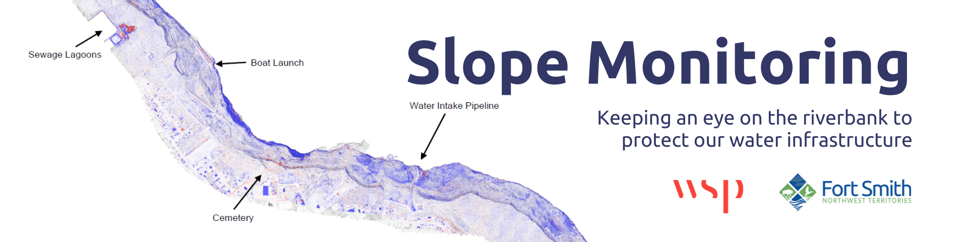
The slopes along the Slave River next to Fort Smith have a long history of gradual movement and erosion, which can affect nearby infrastructure like the water intake and outfall pipelines, walking trails, and the cemetery area.
To keep track of these changes, WSP was contracted to carry out a slope monitoring program for the Town of Fort Smith including a walking inspection of the riverbank, a survey of 37 ground monitoring pins first installed in 2022, and a drone-based aerial (LiDAR) survey to map the slope in detail.
The full report is available below.